How Mumbai is wresting land from the ocean, and why it's bad news
In our greed to create land gold out of water, we are tempting fate. Bombay is a case in point


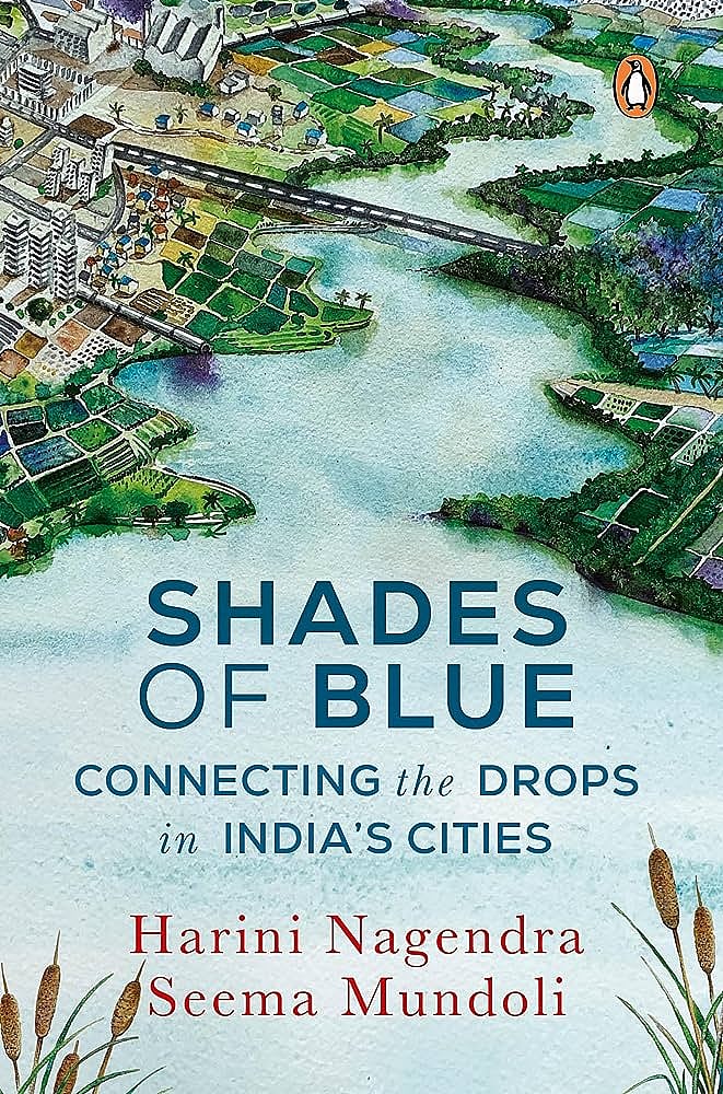
Title: Shades of Blue: Connecting the Drops in India’s Cities
Authors: Harini Nagendra and Seema Mundoli
Publisher: Penguin Viking
Pages: 304
Price: Rs 499 (hardcover)
In the popular imagination today, Mumbai is the Maximum City—a city always running at high speed. But as J. Gerson da Cunha, a Goan physician and historian, says in his book The Origin of Bombay (1900), the city was ‘nothing more originally than a group of small islands, with numerous breakwaters, producing rank vegetation, dry at one time, and at another time overflowed by the sea’.
Mumbai is built on land reclaimed from the sea. A cosmopolitan city, Mumbai is a global financial hub that is home to some of the richest and the poorest Indians. Underneath the glitz and grime, unnoticed by many, lie the watery foundations of the islands on which the city is built. Over centuries, the history of the city’s growth, a process driven by capital, industry and the construction boom, has been erased from collective memory.
The area that is now Mumbai city was originally a group of seven islands: Bombay, Mahim, Colaba, Old Woman’s Island (Little Colaba), Worli, Mazagaon and Parel, which were connected during low tide but separated by the waters of the sea during high tide.
Ptolemy, the legendary Greek astronomer, mathematician and geographer, named an archipelago of seven islands Heptanesia in 150 CE. Many believe that he was speaking about today’s Mumbai. The first inhabitants to settle in this region are believed to be the Kolis, a fishing community that still inhabit the Koliwadas or fishing villages of the city.
The Portuguese acquired the islands from the Mughals in 1530, at a time when only about 10,000 people lived in this region. The British East India Company received the islands as part of the dowry of Catherine Braganza, daughter of the king of Portugal, who married King Charles II of England in 1661. They found the islands to be an ideal place to build a protected harbour for trade.
The British tried to map the collection of islands that marked the boundaries of the archipelago. This seemed impossible. The boundary of the coastline shifted with changes in the tide, and with the season. The islands were surrounded by swampy, saline marshes with a network of creeks that looked solid but could not support the growth of the city. To fulfil the aspirations of the British for aggressive expansion, the sea had to be pushed back. The marshy wetlands between the islands, along with their network of creeks, were termed ‘wastelands’. They were considered to be places of sickness, where diseases like cholera and malaria claimed many thousands of lives. Bombay was even called Yamapuri, the abode of death. Such language paved the way for reclamation. It seemed not only acceptable but essential, the right thing to do to reclaim the marshes, civilising and sanitizing the growing city.
The long process of wresting the city from the sea was initiated by the British. At first, they thought of filling in the partially submerged land between the islands. The first proposal for land reclamation was made in 1668, but it moved at a snail’s pace. Much effort was expended in trying to fill in the Great Breach, the creek between Mahalaxmi and Worli, in the early eighteenth century, but this proved difficult, taking several decades to be completed successfully.
In 1727, the low-lying swamps of Mahalaxmi were filled in and reclaimed for agriculture. The fort in Dongri and the hill on which it was located were demolished in 1769. The material from the demolition was used to fill up the low-lying land in the vicinity. The process of land filling and reclamation thus proceeded in fits and starts across the larger landscape until the Hornby Vellard project, under which a series of causeways were constructed between 1782 and 1845. This finally connected the seven islands into one landmass, the city of Bombay.
[…]
Now called Mumbai, the urban district is an island today hemmed in by the Arabian Sea, Thane Creek and Harbour Bay. The suburban district of Mumbai, which extends farther towards the inland, has scope to grow, but away from the favoured areas that lie along the coast. Meanwhile, because of its history of reclamation, most of the land surface of Mumbai is just a few metres above sea level, making it prone to repeated flooding, particularly during the monsoon. […] Oblivious of the watery future that awaits it, the city defiantly continues to plan for infinite growth, on a finite patch of vulnerable land.
At greatest risk are the mangroves, a fascinating coastal ecosystem containing trees uniquely formed to survive on the interface between land and sea. […]Mangroves are critical coastal ecosystems and an important habitat for fish to breed and reproduce. They are extraordinarily biodiverse, home to animals as varied as insects, birds like the flamingo, reptiles such as the saltwater crocodile, and mammals that include bats and monkeys.
Mangroves are a critical buffer against climate change, protecting the coast from extreme weather events such as storm surges, cyclones and tsunamis. Mumbai’s mangroves cover an area of 65 sq km including Manori and Malad creeks on the west, and Thane Creek on the east, which has the longest mangrove patch.
[…]
The coastal creeks of Mumbai also provided an ideal place to harvest salt, from saline ocean water, evaporating in the shallow creeks under the harsh glare of the sun’s rays. With urban growth, the salt pan workers and the Kolis, iconic to the city’s history and heritage, are under threat, as is the coastline of Mumbai.
The Coastal Regulation Zone Notification of 1991 and the subsequent notification of 2011 offer legal protection to the mangroves, salt pans and coastal ecology, and to dependent communities such as the Kolis. The Sewri Mangrove Park was set up in 1996 to protect 15 acres of mudflats and mangroves between Sewri and Trombay.
A Mumbai High Court Order in 2005 decreed a complete stop to destruction and cutting of mangroves and banned construction within a 50 m radius of mangroves. Koliwadas and Gaothans, villages where fishing communities reside, are classified as ‘no development zones’ in the Mumbai Metropolitan Region.
Yet, urban growth continues to impact local communities and coastal biodiversity. Seventy acres of the Mithi River’s estuary was reclaimed to set up the Bandra–Worli Sea Link, while a Special Economic Zone of 137 acres is proposed to be built on the Thane–Mulund Creek in an area occupied by mangrove forests. The Chhatrapati Shivaji Maharaj Smarak is near an important fish-breeding site. The Navi Mumbai International Airport is located in an area with mangroves and mudflats. The 21.8 km Mumbai Trans Harbour Link will impact the Thane Creek Flamingo Sanctuary, disturbing the thousands of migratory greater and lesser flamingos that visit the creek every year between December and March and turn the entire place a glorious pink. Oil pipelines and oil rigs have polluted the sea, affecting coastal biodiversity.
[…]
In a city where most homes, offices and businesses are built just a few metres above sea level, flooding is inevitable, not just along the coastline and the creeks but also across the entire city. By 2070, Mumbai will have one of the highest populations in Asia exposed to coastal sea rise. Some estimates suggest that the entire financial capital region of downtown Mumbai may be underwater because of climate change. Rather than its current myopic obsession with economic growth fuelled by construction, this megacity needs to think about how to reclaim its once-symbiotic relationship with the ocean. Unless it does, the coasts and creeks of Mumbai will wrest back possession of the city—a testament to the futility of a grandiose colonial vision that attempted to create land out of water.
Join our official telegram channel (@nationalherald) and stay updated with the latest headlines