


It pays to invest in warning systems
We don’t even have the rudimentary warning systems of the past. Is it not a priority, asks Navin Joshi


On 28 May 2025, a towering serac collapsed in the Swiss Alps, sending an avalanche of glacial ice and rock hurtling down the mountain. The torrent of water, mud, moraine and rock debris buried the entire village of Blatten. The devastation was enormous, yet only one person died.
That was possible because of advance warning, preparedness and swift rescue operations. There were systems in place to read the signs of impending danger.
We don’t yet know the full extent of the loss of life and property in Tibet/Nepal in the late August catastrophe. According to information available so far, more than a thousand people have died and nearly 4,000 are missing.
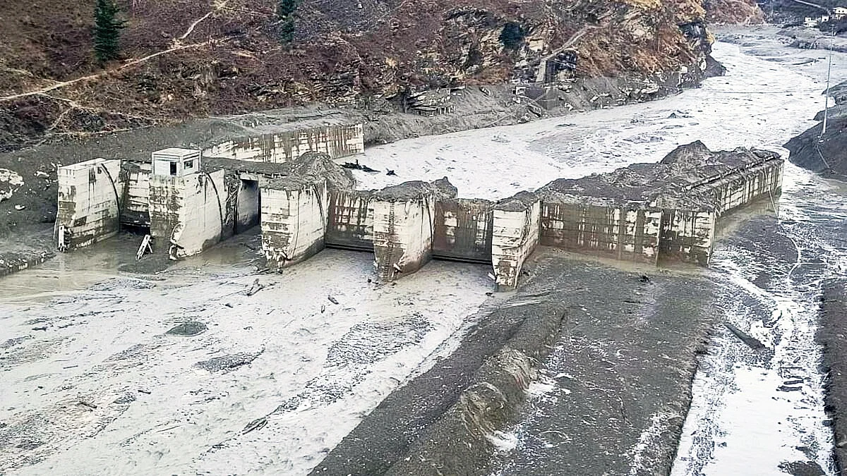
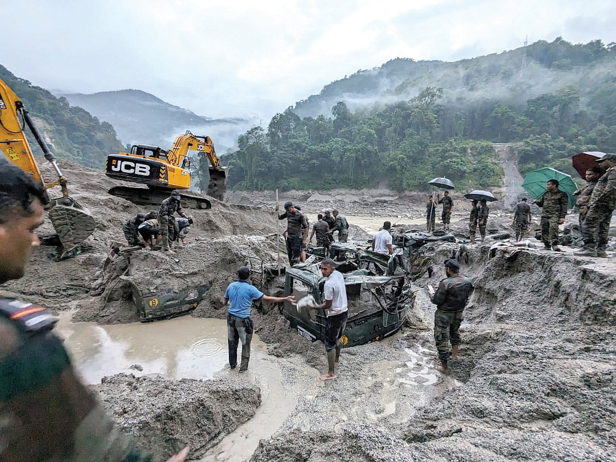
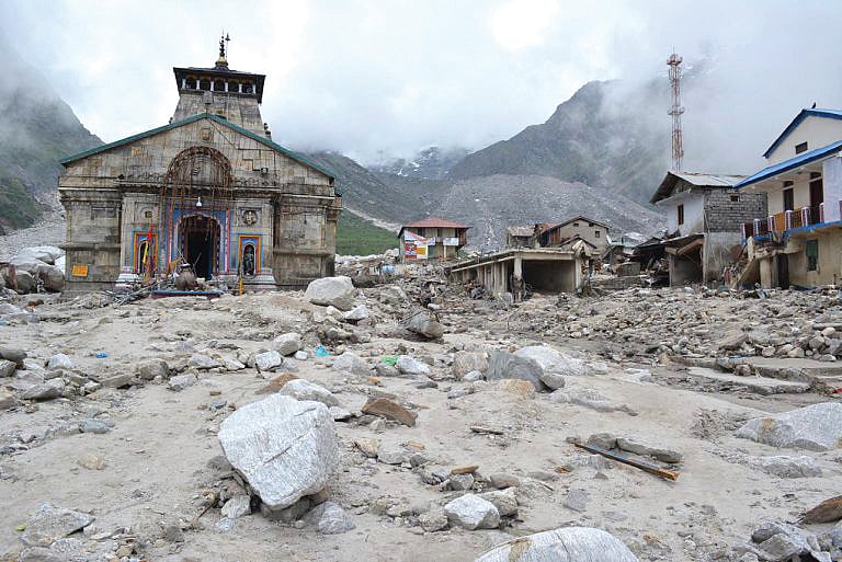
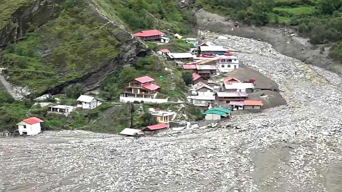
The high Himalaya has witnessed several such disasters in recent years — the Chorabari-Kedarnath catastrophe of 2013, Rishiganga-Chamoli in 2021, Lhonak in north Sikkim in 2023 and the devastating Kheer Ganga-Dharali disaster of 2025. Memories of these disasters send shivers down the spine. Hundreds of lives were lost, entire villages and hydropower plants were swept away or buried.
But there weren’t any advance warnings for any of these disasters. What question, then, of preparedness for rescue?
Even allowing for the considerable differences in the structure and nature of the Alps and the Himalaya, it is surely worth asking: after remote sensing satellites, glaciology, Himalayan studies, geology and a vast body of related research — not to mention several intensive studies by the IITs and the Indian Institute of Science — is it really not possible to put in place even a rudimentary system of advance warning for such disasters? Or is this simply not among our priorities?
Also Read: The perils of ‘greenwashing’
Himalayan peaks, passes and rivers also form international frontiers. There have been allegations from several quarters that even after the disaster struck, had China alerted Nepal, hundreds of lives might have been saved. We might say China is a closed society, but is there any treaty or understanding of this kind among India, Nepal and Pakistan? Is anyone even thinking about creating such a mechanism?
****
At an altitude of 6,500 feet, the Birahi valley in Garhwal, Uttarakhand, is hemmed in on three sides by towering peaks. The river flowing through it is also called the Birahi.
One day in 1893, an enormous rock broke loose from one of the peaks and crashed down at the mouth through which the Birahi river flowed out of the valley. The river was blocked. A lake began forming between the mountains.
By the time British government officials and engineers reached the site, the lake was already a mile wide, five miles long and 400 feet deep. It came to be called Gauna Lake, after a nearby village.
The British engineers saw it as a big danger and had a telegraph station built there so that whenever the lake appeared about to burst, an alarm could be sent to the valleys downstream. Eventually, one day, the lake did burst. But the warning system had alerted people all the way down to Haridwar.
That year, 1894, only the upper hundred feet of Gauna Lake gave way. A lake 300 feet deep remained in place for decades. On 20 July 1970, it finally burst in its entirety with terrifying force.
Also Read: The Himalaya serves another warning
India had been independent for many years by then. But there was no longer a telegraph station, nor any other system to warn people of collapsing mountainsides, falling trees, tumbling boulders and the enormous mass of earth and debris rushing downstream. The horrifying trail of destruction all the way to Haridwar is there in the records.
****
Even today, landslides that dam mountain rivers and create temporary lakes cause devastating floods and deaths almost every year when those lakes burst. We still do not have a comprehensive warning system for such dangers. How, then, are we to expect a mechanism capable of reading the movements deep inside the enormous glaciers of the high Himalaya and issuing timely warnings? We are not even able to keep adequate watch on the lakes forming and expanding among the glaciers.
Experts point out that this is no easy task. Himalayan glaciers are spread over an area of about 48,000 sq. km and, according to researchers, contain more than 5,000 lakes. Around 500 of these are considered dangerous. As many as 388 instances of glacial lake outbursts have been recorded across the Himalaya and Karakoram ranges, producing sudden floods. The disasters at Kedarnath, Chamoli, Sikkim and Dharali were caused by such glacial lake outbursts.
Such disasters are becoming more frequent — and more ferocious. Experts say the scale of the catastrophe in Nepal may be without precedent even in the past thousand years.
Glaciers may look tranquil from above, but all kinds of movements are constantly taking place within them. It is worth remembering that the Himalaya is a geologically young range — an infant in mountain-time — and is still rising. That is precisely why it is considered among the world’s most fragile mountain systems.
The unrestrained race for ‘development’ and the pressure of human settlement are taking their toll as well. And rising global temperatures are, of course, an enormous threat. Glaciers are melting and retreating. Some have effectively become bombs suspended in the air.
A recent study by IIT Bhubaneswar and the Indian Institute of Science, Bengaluru, has identified 219 such hanging glaciers in the upper reaches of the Alaknanda valley alone. They need constant monitoring.
It may be like ‘looking for a needle in a haystack’, but it is not impossible. What it requires is money, an institutional mechanism and political will. The cost would be far lower than what we repeatedly lose in disasters and spend on relief and rehabilitation. The bursting of the Lhonak glacial lake in north Sikkim alone was estimated to have caused losses of Rs 25,000 crore.
The Government of India has begun to map and study glaciers and the lakes forming among them with the help of space research centres. But the real task is continuous monitoring of glaciers identified as vulnerable. Signals obtained through remote sensing satellites can help. We need to learn and seek assistance from the countries of the Alps, where glaciers are being studied, mapped and monitored in this manner.
And, as the American scientist and researcher Austin Lord has suggested, local communities — shepherds, Gujjars and fisherfolk — should also be brought into the process. They possess generations of empirical knowledge about how to read the signs of danger.
Navin Joshi is a veteran journalist and author