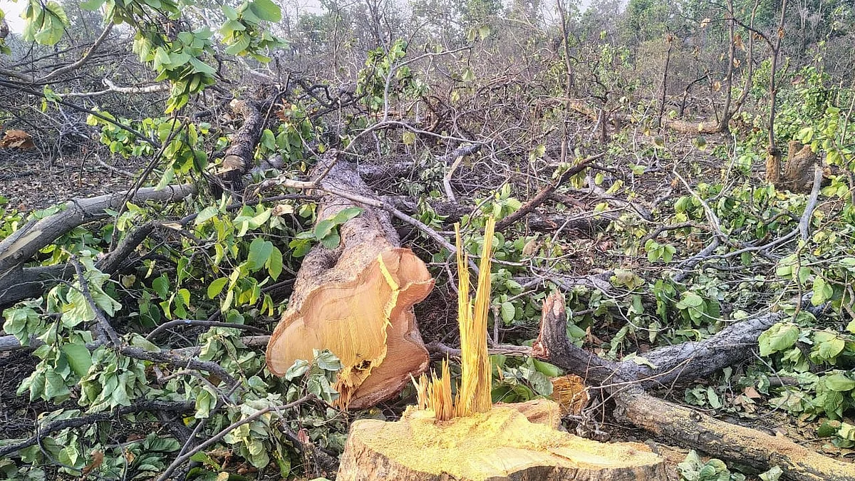
India lost more forest area than it gained from 2015-19: IIT study
All states experienced a net loss in forest cover during this period, said the findings of the study

India lost 18 sq. km of forest for every one sq. km gained during 2015 to 2019, according to a study conducted by the Indian Institute of Technology Bombay (IIT Bombay).
All states experienced a net loss in forest cover during this period, said the findings of the study, led by Prof. Raaj Ramsankaran of the IIT in collaboration with Dr Vasu Sathyakumar and Sridharan Gowtham of SASTRA Deemed University.
The researchers relied on digital forest cover maps obtained from the Copernicus Global Land Service (CGLS) Land Cover Map.
Nearly half of the 56.3 sq. km of forest gain took place in Andhra Pradesh, Tamil Nadu, Karnataka, and Rajasthan, while Tamil Nadu and West Bengal together accounted for almost half of the 1,032.89 sq. km of the total loss, it said.
More significantly, over half of the newly-added forest covers are islets or fragmented which do not improve "structural connectivity", the study said.
This suggests that even where forest cover is increasing on paper, the ecological value and resilience of those forests may be limited, it said.
"Our results clearly show that most of the newly added forests during 2015 to 2019 were islets, highly fragmented and ecologically vulnerable patches. There is a need to move beyond the current quantity-based afforestation approach and explicitly incorporate structural connectivity into forest planning," Dr Sathyakumar said.
Large, continuous forests are ecologically healthy and foster rich biodiversity, which are resilient to natural and man-made disturbances and can self-regenerate, the study said.
These unfragmented forests deliver long-term socio-economic benefits. Fragmented forests, on the other hand, disrupt the movement and survival of plants and animals. Tigers, for instance, need large, connected forests to hunt, breed and survive without coming into conflict with humans, it pointed out.
However, the Forest Survey of India (FSI) indicates an overall increase in forest cover. Ramsankaran said that FSI uses different criteria from the CGLS to identify forests, and does not distinguish between fragmented and continuous forests.
FSI defines forested areas as those with a minimum of 10 per cent tree canopy cover and relies on satellite imagery with a 23.5 meter resolution.
In contrast, the CGLS dataset used in this study applies a 15 per cent canopy threshold and a 100 meter resolution.
"Since FSI reports do not include forest connectivity assessments, direct comparisons aren't possible. However, our data source has a globally validated accuracy of over 85 per cent, making our connectivity results reliable. If FSI's data were made available in GIS-compatible format, our methodology could be readily applied to it," added Dr Sathyakumar.
The researchers have proposed a framework that uses remote sensing data and open-source digital tools to map forest connectivity at both the state and national levels.
Follow us on: Facebook, Twitter, Google News, Instagram
Join our official telegram channel (@nationalherald) and stay updated with the latest headlines
