Nation
Snow in Kashmir, storms in Delhi as erratic weather sweeps across north India
Snowfall in Kashmir’s higher reaches and storms in Delhi signal prolonged spell of volatile weather conditions
Unsettled weather conditions continued to affect large parts of north India on Thursday, with fresh snowfall reported in Kashmir’s higher reaches while Delhi remained under an orange alert after a spell of intense storms and gusty winds. The shifting weather pattern has brought relief from rising temperatures but also triggered disruptions and safety concerns.
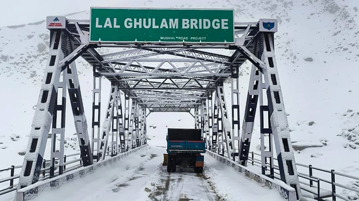
Higher-altitude regions of Kashmir, including the popular tourist destinations of Gulmarg and Sonamarg, witnessed fresh snowfall, with intermittent spells continuing through the day. Gulmarg recorded an accumulation of around five to six inches of snow since the previous evening. Other areas such as Pir Ki Gali, Razdan Top, Gurez Valley and Sadhna Top also reported snowfall, continuing a pattern of on-and-off precipitation in the valley’s upper reaches over the past few days.
In contrast, the plains of the valley, including Srinagar, were lashed by steady rain, bringing down temperatures and adding to the wintry feel.
Further south, New Delhi and adjoining regions experienced overcast skies and gusty winds a day after intense weather activity disrupted normal life. Temperatures hovered around 19°C, offering respite from the recent heat, but conditions remained unstable.
The India Meteorological Department (IMD) issued an orange alert for the capital, warning of light to moderate rain accompanied by thunderstorms, lightning and strong winds reaching 40–50 kmph, with gusts up to 60 kmph. These conditions are expected to persist until Friday.
Published: undefined
A powerful storm on Wednesday evening brought dust storms, heavy rainfall and lightning to Delhi, leading to significant disruptions. At least 16 flights were diverted from Indira Gandhi International Airport due to adverse weather conditions.
Wind speeds across the city remained elevated, with Pragati Maidan recording gusts of up to 68 kmph, followed by Pusa at 65 kmph and Palam at 52 kmph. Other areas, including Lodhi Road, Pitampura and IGNOU, also reported strong winds.
Authorities have advised residents to remain cautious, avoid open areas during storms and secure loose objects, as strong winds may pose safety risks.
Despite the rainfall, air quality in Delhi remained a concern, with the air quality index staying in the ‘moderate’ to ‘poor’ range across several monitoring stations.
The IMD said the broader weather system is influencing multiple regions across the country. Thunderstorms are expected across several districts of West Bengal over the next two days, with the possibility of hailstorms in parts such as Bankura, Purulia and Paschim Bardhaman. Northern districts, including Darjeeling and Jalpaiguri, may also experience similar conditions.
In southern India, light to moderate rainfall accompanied by thunderstorms is forecast in parts of Tamil Nadu and the Karaikal region, with activity expected to gradually shift towards the Western Ghats over the coming days.
Looking ahead, the weather office has indicated that Kashmir is likely to see continued rain and snowfall until March 20, followed by a brief dry spell. However, further spells of precipitation are expected later in the month.
Overall, the current pattern points to a prolonged phase of erratic weather across regions, combining snowfall in the north, storms in the plains and scattered rainfall elsewhere, keeping both authorities and residents on alert.
With PTI and IANS inputs
Published: undefined
Join our official telegram channel (@nationalherald) and stay updated with the latest headlines
Published: undefined