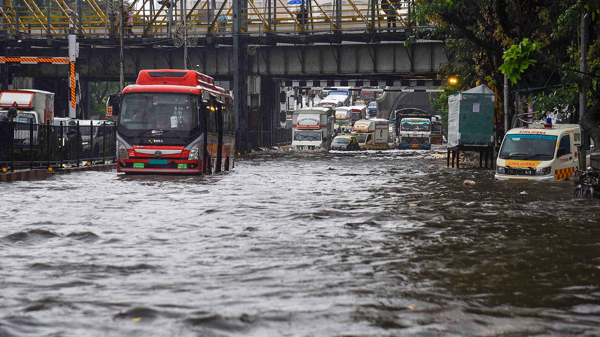
IMD forecasts wetter September, warns of flash floods, landslides
In a statement released on Sunday, the IMD indicated that the average rainfall for September is likely to surpass 109 per cent of the long-term mean of 167.9 mm

India is likely to experience above-average rainfall in September, according to the India Meteorological Department (IMD), capping off a monsoon season already marked by intense rain-induced disasters in several regions.
In a statement released Sunday, the IMD forecast that September 2025's rainfall will exceed 109 per cent of the long-period average (LPA) of 167.9 mm, continuing a season that has already delivered higher-than-normal precipitation across much of the country.
The monsoon outlook suggests that most areas will receive normal to above-normal rainfall this month. However, pockets in the northeast and east, the extreme southern peninsular region, and some parts of northwest India are expected to fall below average in terms of rainfall.
During an online briefing, IMD Director General Mrutyunjay Mohapatra highlighted that intense rain may lead to landslides and flash floods in Uttarakhand, while also disrupting life in south Haryana, Delhi, and north Rajasthan.
"Many rivers originate in Uttarakhand. So, heavy rainfall means many rivers will be flooded and it will impact cities and towns downstream. So, we should keep this in mind," he said.
He also warned that heavy rain is anticipated in the upper catchment of the Mahanadi River in Chhattisgarh, potentially affecting downstream regions.

September rainfall trending upwards over decades
Mohapatra noted a gradual rise in September rainfall since 1980, despite intermittent dry years such as 1986, 1991, 2001, 2004, 2010, 2015, and 2019.
In terms of temperature trends, the IMD projects that maximum temperatures in September will remain normal to below normal across much of west-central, northwest, and southern India. However, temperatures are expected to be above normal in east-central, eastern, and northeastern regions, as well as some parts of northwest India and the western coast.
2025 monsoon season so far
Between 01 June and 31 August, India recorded 743.1 mm of rainfall — six per cent more than the seasonal average of 700.7 mm.
Here's a month-wise break up:
June brought 180 mm, which was nine per cent above normal, especially in northwest and central India.
July followed with 294.1 mm, five per cent above normal, largely due to a 22 per cent surplus in central India.
August added another 268.1 mm, also 5.2 per cent above normal.
Notably, northwest India registered 265 mm of rain in August, making it the wettest August since 2001, and the 13th highest since 1901. The region has seen consistent surpluses throughout the season, with a cumulative 614.2 mm of rainfall—27 per cent above the norm of 484.9 mm for the period.
In the southern peninsula, August rainfall was recorded at 250.6 mm, 31 per cent above normal, ranking as the third highest for the month since 2001 and the eighth highest since 1901. Overall, the region has seen 607.7 mm of rain since 01 June, a 9.3 per cent surplus over the expected 556.2 mm.
Widespread damage across states
This excess rainfall coincided with severe weather events across multiple states. Punjab faced its worst floods in decades, with breached canals and overflowing rivers submerging farmland and displacing thousands.
Similarly, in Himachal Pradesh, Uttarakhand, and Jammu & Kashmir, cloudbursts and flash floods led to landslides, causing loss of life and widespread destruction.

The IMD attributed the situation to sustained active monsoon conditions, frequent western disturbances, and low-pressure systems that intensified rainfall.
Mohapatra explained that a series of active western disturbances from 28 July to 14 August led to heavy to very heavy rains over the western Himalayas and adjoining plains, resulting in incidents like the 05 August flash flood and landslide in Uttarkashi and major floods in Uttar Pradesh and Bihar.
The monsoon saw a sharp resurgence after 14 August, as four low-pressure systems formed and persisted for over two weeks, keeping rainfall levels high.
Between 21 August and 27 August, northwest India and nearby Himalayan regions witnessed "extremely and exceptionally heavy rainfall events," according to Mohapatra. These conditions were driven by slow-moving western disturbances, remnants of monsoonal lows, and moisture-laden winds from the Bay of Bengal and Arabian Sea.
“The slow movement of two successive very active western disturbances, interaction with remnants of monsoonal low-pressure systems, strong southerly winds with moisture incursion from the Bay of Bengal and Arabian Sea and formation of two low-pressure systems over north Bay of Bengal and their movement across central India” caused these intense rain events, Mohapatra said.
Heavy rainfall hit east Rajasthan from 22 to 24 August, Punjab and Haryana from 23 to 26 August, and Jammu & Kashmir from 23 to 27 August, resulting in landslides in Katra and serious flooding in Jammu, Punjab, and parts of Rajasthan.
Other significant downpours occurred in Konkan and Madhya Maharashtra ghats on 20 August, eastern Rajasthan on 23 August, Jammu region on 27 August, Telangana on 28 August.
(With inputs from PTI)
Follow us on: Facebook, Twitter, Google News, Instagram
Join our official telegram channel (@nationalherald) and stay updated with the latest headlines
