Nation
More rain forecast in UP as floods affect 3.5 lakh people in 26 districts
Western UP likely to see more rain and thundershowers as Ganga and other rivers remain above warning or danger levels
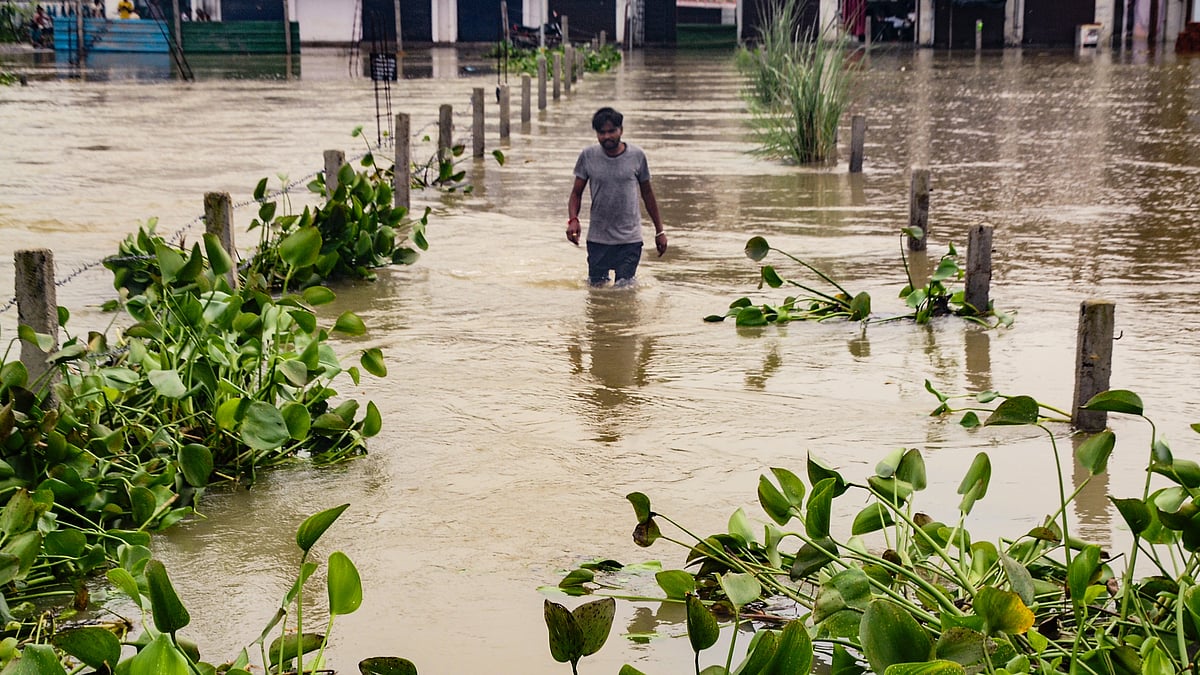
Rain and thundershowers are likely at many places in western Uttar Pradesh and at a few places in eastern parts over the next 24 hours, the India Meteorological Department (IMD) said on Friday, 4 September, as flooding continues to affect more than a third of the state's districts.
Several parts of Uttar Pradesh received rain in the 24 hours ending Friday evening, with Sultanpur recording the highest rainfall at 16.4 mm, followed by Gorakhpur at 10.4 mm. Aligarh received 9.4 mm, Shahjahanpur 8.6 mm, Meerut 7 mm, Bareilly 5.3 mm, Muzaffarnagar 5 mm and Jhansi 4.9 mm.
Barabanki recorded 3.6 mm, Bahraich 2.6 mm and Moradabad 2 mm.
According to the relief commissioner's office, around 3.53 lakh people in 26 districts have been affected by the floods. Of these, 17,544 people have been evacuated to safer locations and 4,847 are staying in relief shelters.
The state government has deployed 1,634 flood outposts, 1,697 boats and motorboats and 1,068 medical teams in affected areas. A total of 1,312 flood shelters have also been set up.
The Ganga and other rivers remain a concern. The Ganga has crossed the warning level in Varanasi and is flowing above the danger level in Ballia, where the Ghaghra is also above the danger mark.
The IMD has forecast heavy rain at isolated places in western Uttar Pradesh, with more widespread rain and thundershowers expected in the region. Rainfall in eastern Uttar Pradesh is likely to remain more scattered.
In Lucknow, the sky is expected to remain generally cloudy, with one or two spells of rain or thundershowers. The maximum and minimum temperatures are likely to remain around 32°C and 26°C, respectively.
No weather warning has been issued for the state capital.
Lucknow recorded a maximum temperature of 32.3°C on Friday, 0.8°C below normal, while the minimum temperature was 26°C, 1.1°C above normal.
With PTI inputs
Join our official telegram channel (@nationalherald) and stay updated with the latest headlines